Large map of Antarctica
Discover the fascinating world of Antarctica with a detailed map that is
an ideal addition to any school classroom.
Properties:
- Large dimensions: The map measures an impressive 140cm x 140cm,
providing enough space for children's group work. - Durable material: The PVC tarpaulin is robust and easy to wash,
which guarantees a long life even with frequent use in the classroom. - Easy to hang: The map is equipped with eyelets, thanks to which it can
be easily hung on the wall. - Ideal for activities and presentations: Due to its size and material, the map
is perfect for laying out on the floor, allowing students closer interaction and hands-on learning activities.
Educational benefit:
Map of Antarctica is designed with the educational needs of teachers and students in mind.
It was made by teacher and geographer Ondra from MAUiTO. It offers detailed information
about the natural phenomena of this frigid continent. It can be used in discussions,
group projects and as a basis for presentations, reports and key lessons.
After use, the map can be rolled up or hung on the wall.
The map is on a scale of 1:5,000,000 and has dimensions of 140 x 140 cm.
Prints for hanging are part of the map. The scale of the map is 1:4,000,000.
Make your work easier with the worksheet tools we've created and offer for free download.
| Category: | e-shop |
|---|---|
| Weight: | 1.2 kg |
| Rozměr mapy: | 140 x 140 cm |
| Dá se popisovat: | ne |
| Materiál: | 100 % PVC |
| Prodloužená záruka 3 roky: | ano |


How do we ship the gadget?
Lenka carefully prepares packages for you. We emphasize that the packages are beautifully packed. Schools and kindergartens can choose to pay by invoice after delivery.
We avoid plastic packaging as much as possible. We will pack a small GIFT with every order!
Why get maps from MAPUiTO?
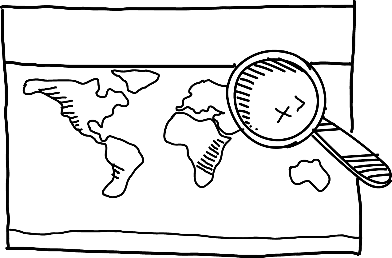
The maps excel in display quality, you can see even the smallest details and underwater relief.
We produce large and durable maps that children can walk, run, work independently or in a group.
Connecting geography and learning. The maps are produced by a Montessori teacher and a physical geographer with many years of experience in geoinformatics systems.
New tools are invented together with teachers.
Lots of free supplementary materials. We create free supplementary worksheets for the maps. You can also look forward to 3D aids.
Family production for us means maximum commitment to you and attention to your requirements. We produce customized maps.
We care about the environment. Every month we plant a tree in cooperation with Arnika. We try to avoid unnecessary plastics in packaging and use paper adhesive tapes. We print all maps in the Czech Republic. We are always looking for more environmentally friendly ways to print maps and the material meets the Reach Directive.


Be the first who will post an article to this item!
Be the first who will post an article to this item!