Download a map of countries, their capitals and flags here:
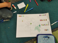
Map of European countries and their flags to colourFor this activity, you need to work with an atlas, according to which the children colour the flags of the countries.
The name Europe is derived from the Akkadian word ereb, meaning sunset... Europe is actually a huge peninsula of the bicontinent of Eurasia. Europe is a continent of great contrasts. Along with the hot Mediterranean, there is the cold north. It is conveniently located in the heart of the northern hemisphere, which makes it maximally efficient for contacts with the world.
The average altitude is 290 m. Europe is the lowest of all continents. The lowlands cover 60% of the area. After Australia, it is the second smallest continent. It surpasses even Antarctica in size.
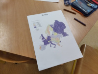
Europe's population is clearly displayed on the map, which the children can colour according to the control map.
Population to download and color:
map of Europe_population to colourMap of Europe_Population control
Biomes of Europe separately download here:
Europe's biome map clean to colour
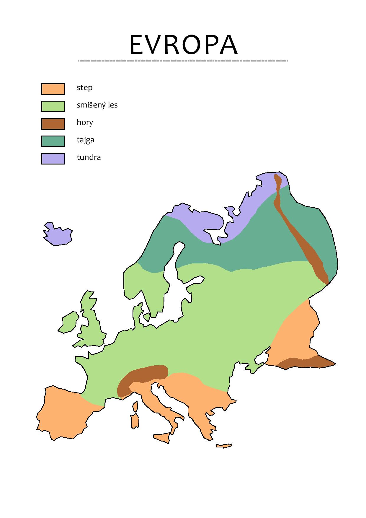
More quality maps from the hands of geographer and Montessori teacher Ondra can be found on the blog.
If you like the worksheets, get the Mapping the World geography resources for your classroom. We also produce bespoke maps for schools.
We recommend the giant map of Europe for this activity.
_small.jpg)
_small.jpg)